Irish Independent Walk of the Week Christopher Somerville
No 121. Bolus Head, Iveragh Peninsula, Co. Kerry
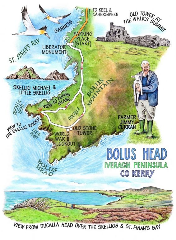
On a spring morning like this one, fantastically blowy and vigorous, with a white-toothed milky green sea and a tumultuous blue and silver sky, you really wouldn’t want to be anywhere else than down on St Finan’s Bay in south-west Kerry at the outermost tip of the Iveragh peninsula. New-born lambs tottered in the shadow of their mothers, primroses and dandelions fought silently for possession of the verges along the bumpy little back-country road to Ducalla, and altogether everything in and out of nature seemed in a conspiracy to put a big stupid smile on a walker’s face.
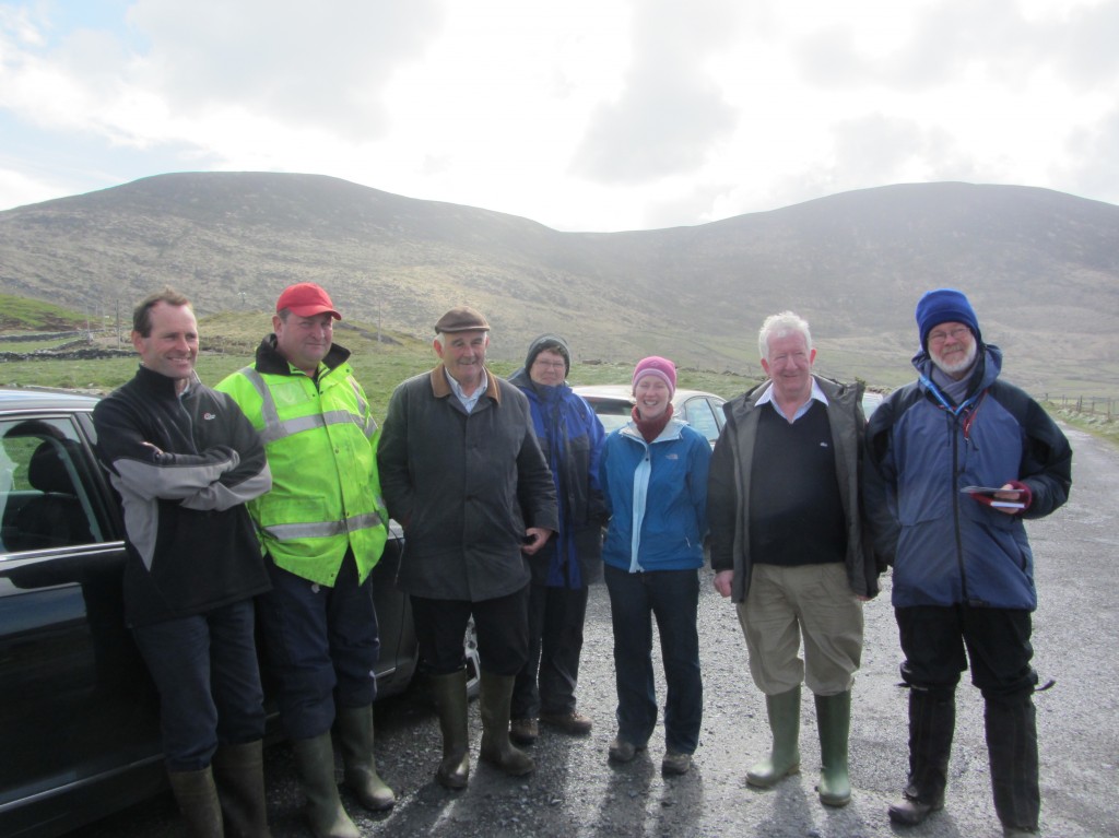
A great crowd turned out to mark the start of the walk – Mary Adair, Gaeltacht worker Caitlín Breathnach and Kerry’s stand-in Rural Recreation Officer Trish Deane, Rural Social Scheme workers John Joe O’Sullivan and Patrick O’Donoghue who had installed the Bolus Head Loop Walk on the ground, and Jimmy Curran and John Joe O’Sullivan (another one!), the farmers whose land we were going to be crossing today. After a lot of handshaking and mutual grinning, the actual walking party shook down into Jimmy, John Joe (RSS) and Patrick, Trisha, Jane and myself. We waved goodbye to the others and set out across the squelchy hillsides of Ducalla.
‘Just born this morning – see?’ Jimmy pointed to a lamp so new that the bright red birth string was still attached. ‘I’ve farmed and lived all my life right here,’ Jimmy said, ‘and I’m never happier than when I’m out here on these fields with that view,’ and he indicated with a sweep of his arm the wide bay, the striated green blade of Puffin Island, and the Skellig Rocks like twin castles out in the sea. ‘We’d the white-tailed sea eagles down there on the cliffs for two months last year, and I’m hoping they’ll visit again.’
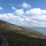
At the turn of the path Jimmy decided he’d better be off to see to his lambs. He hurried away down the hillside and the rest of us faced up the spine of Ducalla Head, a narrow upward path on the cliff edge with breathtaking views down into the dark hollows of the cliffs, a tumbledown wall between us and the drop to the rocks a couple of hundred feet below. We sat out of the wind in the shelter of an ancient multi-gabled building while John Joe and Patrick, local farmers, talked of west Kerry’s recent problems of emigration and the steady draining away of bright and energetic youth with no work or prospects to hold them here.
And what of John Joe and Patrick themselves? ‘Ah, well, now…’ The modest men and women of the Rural Social Scheme would never tell you this, but their hard work and local knowledge forms the bedrock of the huge success of Ireland’s new Looped Walks. If it wasn’t for their tactful sit-downs and give-and-take discussions with sometimes reluctant landowners – people they’ve known all their lives – not to mention their hard work with spade, shovel and signpost, the Looped Walks would never have got off the drawing board onto the ground.
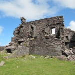
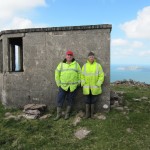
We stormed the last of the slope and came to the twin ruins on the crest of Bolus Head – a plain concrete lookout from the Second World War, and a far larger and starker tower of black stone just beyond, the wind howling softly through its blank windows. The crest of the hill made an atmospheric spot to stop before the homeward descent, getting our breath and looking out to the soaring spires of the Skelligs where other modest and hard-working men – the monks of the lonely rocks – once clung to their isolation in that sea-girt fortress of prayer and fasting.
WAY TO GO
MAP: OS of Ireland 1:50,000 Discovery Sheet 83; downloadable map/instructions at discoverireland.ie/walking.
GPS: Satmap.com
TRAVEL: N70 to Cahersiveen; 4 km towards Waterville, R565 to Portmagee; minor road to Keel. From Keel, follow road marked ‘Baile an Sceilg’; first right past Skelligs Chocolate factory (‘Trailhead’); park by Liberator monument.
WALK DIRECTIONS: Follow purple arrows (PA) along road for 2 km to its end. Cross stile and on across hillside, then left beside fence up spine of Bolus Head to signal tower at summit (PAs). Left along fence, over ladder stile; on to cross next ladder stile. Bear left along green road, then ahead (PA) steeply down beside a fence to a gate and road; continue ahead back to monument.
LENGTH: 8.5 km/5½ miles – allow 2½-3½ hours
GRADE: Moderate/steep
CONDITIONS: Soft hillside paths; boots/walking trainers advised. One short, steep upwards section. Please do not cross fence at summit of Bolus Head; the larger ruin is private property.
DON’T MISS:
• Sensational views of the Skelligs
• Gannets diving into St Finan’s Bay for fish
• View from summit – from Beara peninsula to Inishvickillaun
REFRESHMENTS: Skellig’s Chocolate Café (066-947-9119; skelligschocolate.com): Mon-Fri 11-16.45, Sat, Sun 12-16.45.
PICNIC SPOT: Up by the ‘barracks’ on Bolus Head
ACCOMMODATION: Currane Lodge, Tarmons, Waterville, Co. Kerry (066-947-4073; curranelodge.ie; €60-70 dble B&) – Ann McCarthy’s immaculate lake-view B&B.
DINNER: Smugglers Inn, Cliff Road, Waterville (066-947-4330; thesmugglersinn.ie) – superb seafood bisque and local fish straight out of the sea.
WALKING in IRELAND: Walking tour operators, local walks including Discover Ireland’s National Loop Walks, walking festivals throughout Ireland: www.discoverireland.ie/walking and www.coillte.ie
BOOK: Christopher’s book Walking in Ireland (Ebury Press) contains 50 of his favourite Irish Independent walks.
INFORMATION: Waterville TIC (066-947-4646); discoverireland.ie/Places-To-Go; ringofkerrytourism.com
csomerville@independent.ie
900 words
INFORMATION: Waterville TIC