Marty and Mary McGuigan stepped out of their van in a Dungiven lay-by to greet us, looking as spry as ever. It was good to see them again. Mary is a great hill-walker in her own right, and as for Marty – what that man doesn’t know about his native Sperrin Hills of Tyrone and Derry isn’t worth the knowing. Every time I’ve been walking with Marty he’s filled the day with talk, song, conjecture and jokes, and today was no sort of exception.
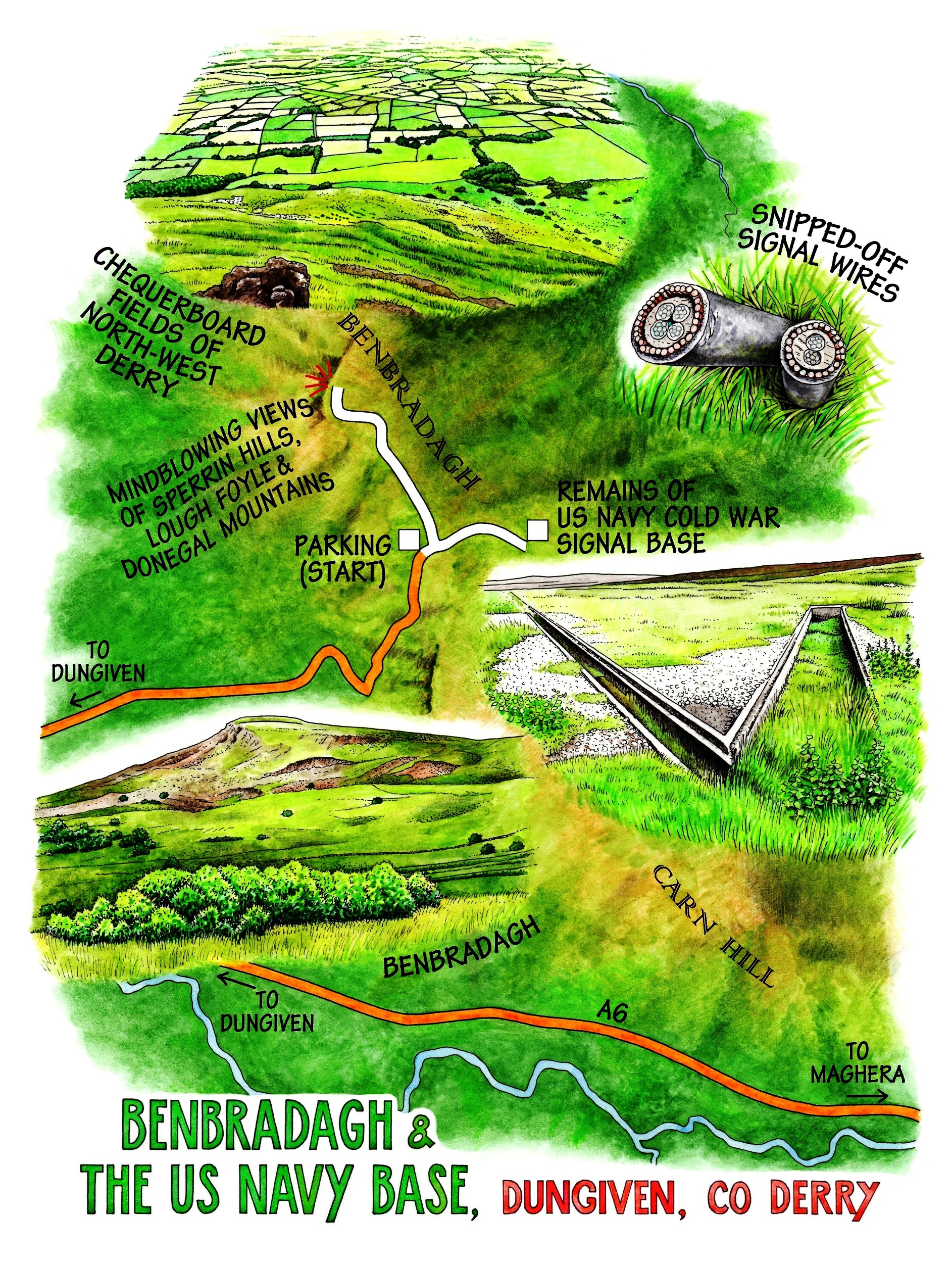
We drove the narrow hill road that winds up the south-west angle of Benbradagh and parked at the top of the lane. Benbradagh – Binn Bhradach, the Thief’s Mountain, no-one knows why – dominates Dungiven the way Benbulben dominates Sligo, a mighty presence at the back of the town, wedge-shaped and green as it hangs half-way up the sky. Grey slopes of bouldery scree tumble from its peak, contributing to the wild look and reputation of the mountain.
We turned north into a blustery wind and went towards the peak, scrambling over tied-up gates and walking along a roadway surfaced with old hardstanding and flanked by intriguing blocks of concrete set with rusty iron stanchions. Plainly others had been here before us, with some industrial purpose. Before we could speculate further, though, we were over the last of the gates and out on the open mountain, scattering black-faced sheep as we followed a path up towards the long escarpment that forms the summit of Benbradagh.
The wind poured up over the edge, whipping at the grasses and the wild flowers dotted among them – heath bedstraw, heartsease, trembling sky-blue harebells, clumps of wild thyme. We knelt to pinch them and sniff our fingers, while dredging up from our collective memories an old tune and the words to go with it:
“Come all you maidens brisk and gay,
All you that flourish in your prime,
Beware and take care, and keep your garden fair,
And let no man steal your bonny bunch of thyme.”
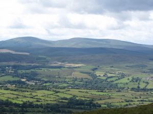
So singing, we stared at the view, one of the finest in County Derry – the sunlit lowlands around Dungiven striped with little traditional fields, the north Sperrins rolling away like sombre waves in the south-west, Lough Foyle lying north-west like a steel tongue, and tabular Muckish and conical Errigal standing out in Donegal on the western skyline.
Could the wild mountain that owns this stupendous prospect really conceal the deadly secret that the Internet websites whisper about – a nuclear bunker, built by the US Navy at the height of the Cold War? Certainly the US had a low-rise signal base, modestly concealed on a boggy plateau, constructed up here in the late 1960s to service a cluster of tall radio masts that shuttled messages to and from US Navy ships out in the North Atlantic. It also, in all probability, acted as a hotline between Pentagon and Kremlin in the dark days of the 1960s and 70s when it looked as though an itchy finger might stab the red button at any moment.
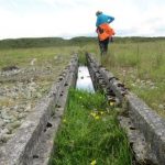
We found the remnants of the old base beside the ‘American Road’, the supply road the US Navy built to supply their station – hut bases, conduits, strange holes, chambers, vents and snipped-off wires. An eerie place, desolated and resonant with Cold War foreboding. Later I looked up Navcomsta Dungiven online, and found images of the site (see below), all the way from big blokes in donkey jackets in a sea of bog and concrete mixers, to the opening by splendid brass hats, and operation by pallid and bespectacled techies, as clever as professors with their switches and dials.
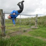
On the way back to the car, Marty McGuigan taught us how to vault a five-barred gate. Now that’s what I call clever.
WAY TO GO
MAP: OS of Ireland 1:50,000 Discoverer 8
GPS: Satmap.com
TRAVEL: Dungiven is on A6 (Belfast-Derry) between Maghera and Claudy. Entering Dungiven from Maghera (Belfast) direction, turn right up Curragh Road past school. Continue for 4 km/2½ miles, to park at the end of the road high on Benbradagh.
WALK DIRECTIONS: Climb over the gate and turn left along stony roadway, climbing over several fastened gates. By a radio station walk ahead towards Benbradagh, keeping fence on your left. At a metal pole, left across stile; follow track up and along summit. Return same way to gate by road end; turn left here along the ‘American Road’ as far as the signal station site. Go further down the American Road if you wish (superb views), or return to car.
LENGTH: 5 km/3 miles – allow 1½ hours
GRADE: Easy
CONDITIONS: Surfaced tracks or hill paths – these could be squashy after rain.
DON’T MISS:
• View west from Benbradagh over Lough Foyle, Inishowen and the north-western Sperrin Hills
• Relics of the American signal station
• Views from the American Road towards Slemish and the Derry and Antrim Hills
REFRESHMENTS: Picnic on Benbradagh, or plenty of cafés/pubs in Dungiven.
ACCOMMODATION: Eugene and Gerardine Kielt, Laurel Villa Townhouse, Magherafelt (028-7930-1459; laurel-villa.com) – from £80 dble B&B – the famed ‘House of Poetry’, the perfect base for exploring the northern Sperrins.
US Navy Base: http://navcommsta-londonderry.freeservers.com/dgmaster.htm
INFORMATION: Walking tour operators, local walks including Discover Ireland’s National Loop Walks and Northern Ireland’s Quality Walks, walking festivals throughout Ireland: www.walkni.com; www.discoverireland.ie/walking
DERRY TOURIST OFFICE: 028-7126-7284; derryvisitor.com; discovernorthernireland.com

